


Descripción
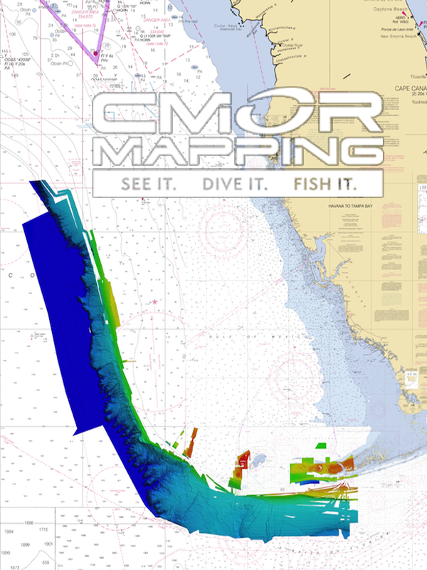
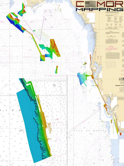
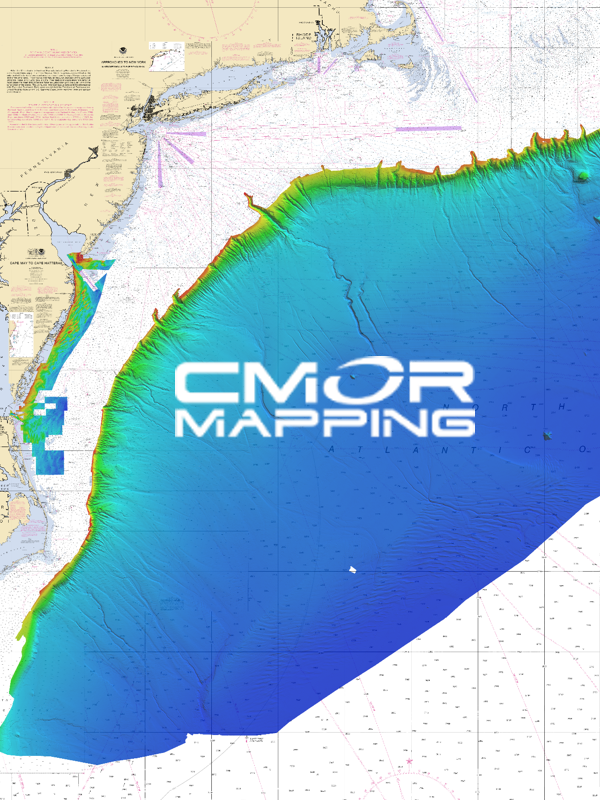
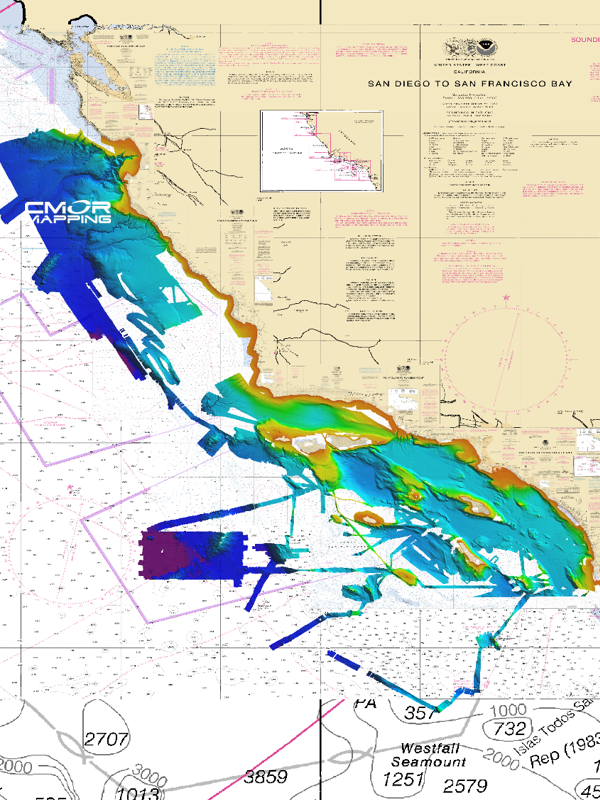
Bring the bottom contour into full view with CMOR MAPPING!
Direct compatibility: SIMRAD, LOWRANCE, & MERCURY VESSEL VIEW
- FURUNO TZT2 &TZT3 RAYMARINE CALL FOR AVAILABILITY -
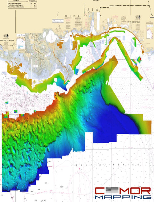
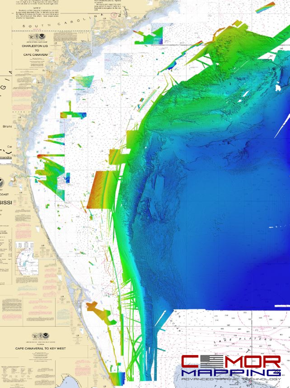
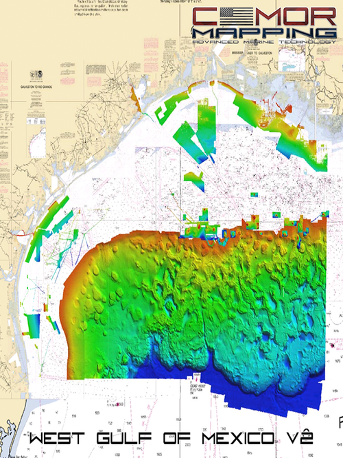
The best diving and bottom-fishing spots are the ones that don’t show up on the paper or digital charts and aren’t marked on commercially available fishing maps. Instead, they’re the forgotten wrecks, the isolated reefs, the ledges hidden between the contour lines — places you spend hundreds of hours on the water and burn thousands of dollars in fuel to find.
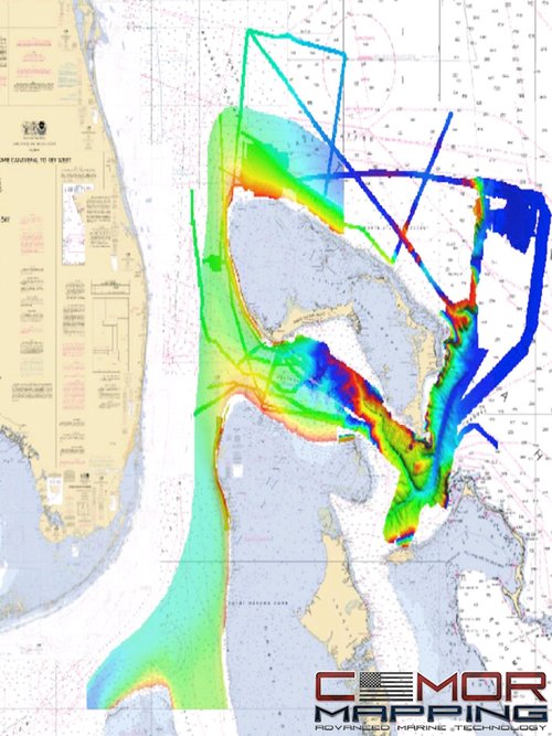
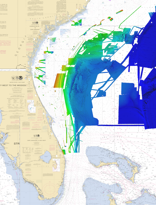
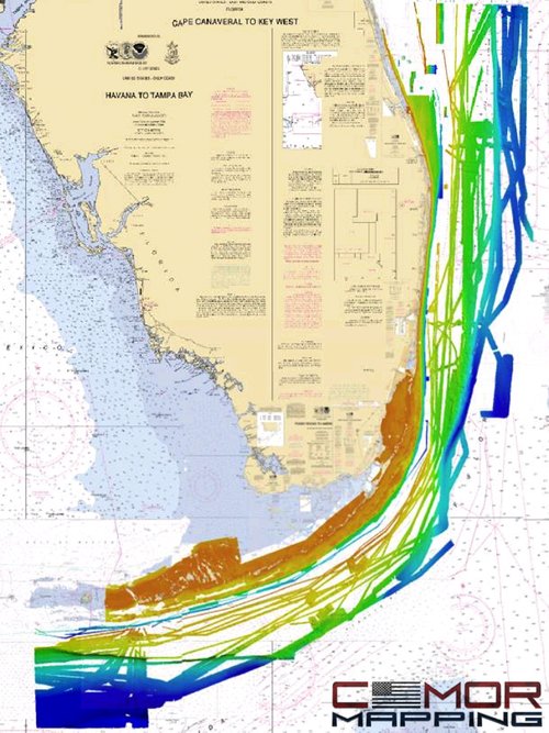
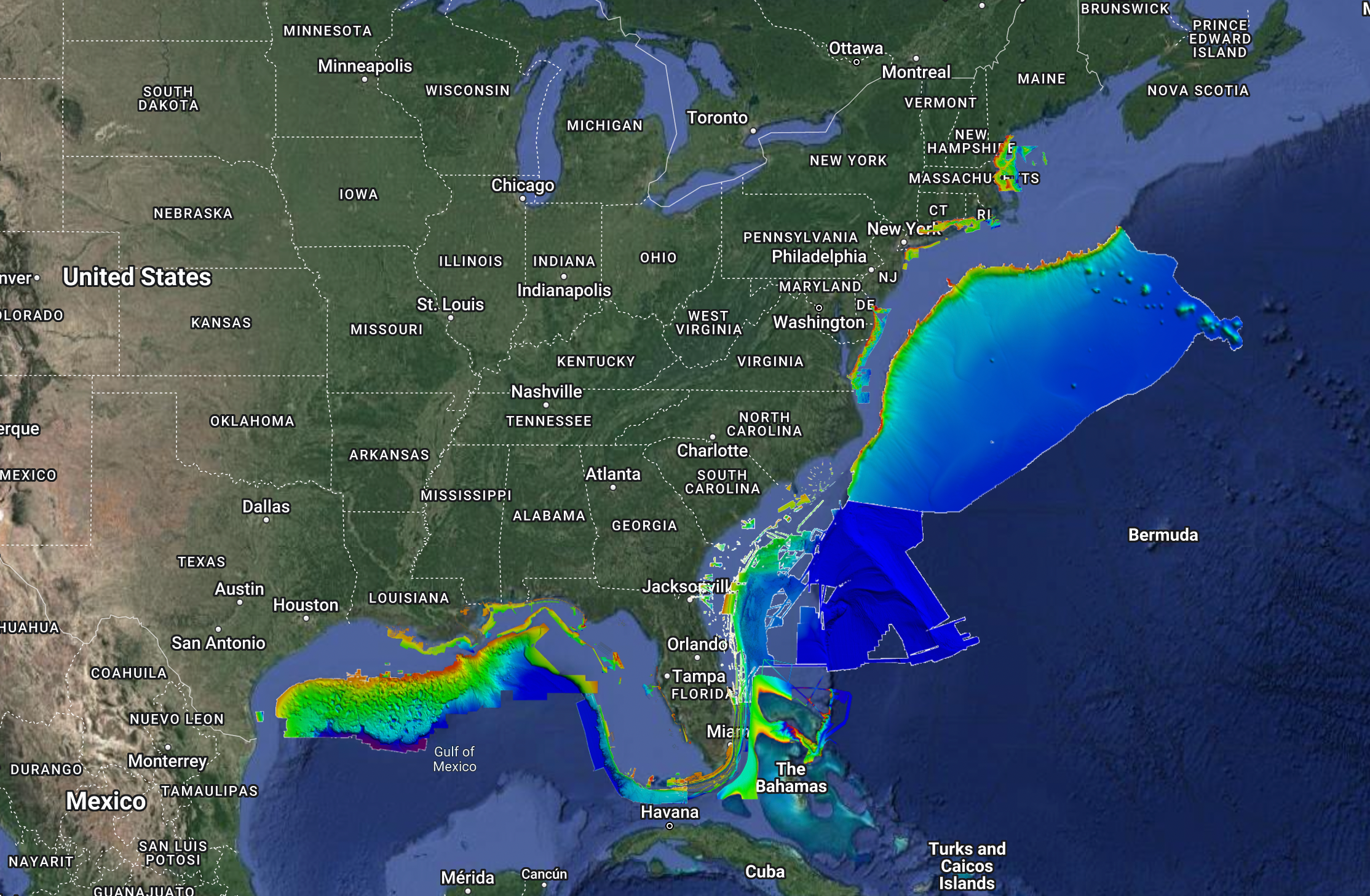
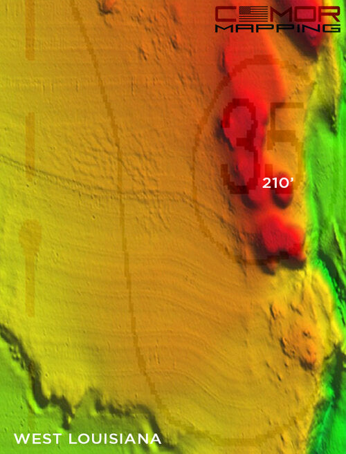
Now, though, CMOR Mapping’s chartplotter-compatible bathymetry reveals those spots for the first time. With resolution as high as 1 meter (each pixel represents a single square meter of bottom) and coverage of the entire bottom, you see every bump in remarkable detail. Just as importantly, you see the areas of featureless underwater desert, where you don’t need to spend your time looking.
CMOR Mapping imagery is seamlessly compatible with most Simrad, Lowrance, B&G, and Raymarine chartplotters as well as some Furuno NavNet and Mercury VesselView systems. (See CMOR FAQ page for a full list). Just insert the Micro SD card (SD adapter included) and zoom in on the coverage area to see bathymetry data. Your vessel icon is overlaid on the CMOR data, showing you exactly where you are in relation to bottom features.